Every Carlsbad ADU goes through the same City building counter, but the rules that land on your lot depend on where it sits. A pre-1952 bungalow near the Village train station and a 2010s house on a Robertson Ranch hillside are planned under very different maps.
A licensed San Diego County general contractor takes ADU, garage conversion and JADU requests from all four Carlsbad ZIP codes through this site. Four things change the most from one neighborhood to the next: whether the parcel is in the Coastal Zone (which adds a minor Coastal Development Permit for detached units and conversions), which master plan and HOA governs the lot, which water district serves it, and whether the lot sits in one of the fire hazard zones Carlsbad adopted in June 2025. The Village and Barrio, Aviara, La Costa, and Robertson Ranch with Calavera Hills each have a full guide. Bressi Ranch, Rancho Carrillo, Olde Carlsbad, Terramar, Kelly Ranch and Poinsettia Shores are covered further down this page.
Seven map layers that shape a Carlsbad ADU
None of these layers stops an ADU outright. Each one changes the permit path, the cost or the design, so it pays to know which ones touch your parcel before anyone draws a floor plan.
Layer
What it changes
Where it applies
Coastal Zone
Detached ADUs and garage conversions need a minor Coastal Development Permit from the City Planner, with neighbors noticed but no hearing. Attached ADUs and JADUs are generally building permit only, except near beaches, wetlands and bluff edges.
About 37% of the city, roughly the land west of El Camino Real. Confirm by parcel.
Parking replacement areas
Garage parking lost to a conversion normally does not have to be replaced in Carlsbad. Two areas are the exception: everything on the ocean side of the railroad, and a band between the tracks and I-5 that runs from Avenida Encinas down to Batiquitos Lagoon.
Beach-side Village blocks, Terramar, Poinsettia Shores area
Major transit stops
Near Carlsbad Village Station or Poinsettia Station (a half-mile walk or less), a detached ADU can reach 18 ft (plus up to 2 ft to match the house roof pitch), and the parking space is waived.
Village, Barrio, parts of Olde Carlsbad and Poinsettia
Water district
Carlsbad Municipal Water District serves about 85% of the city. Olivenhain MWD serves the south and Vallecitos the southeast, and each sets its own meter and capacity charges.
Olivenhain in parts of La Costa; Vallecitos in the southeast corner
Fire hazard severity zones
The 2025 State Fire Marshal maps added Moderate and High zones to Very High. High and Very High require ignition-resistant (Chapter 7A) construction; Very High adds 100 ft of defensible space for new buildings.
Hillside and open-space edges, mostly east. Look up each address.
School district
Four districts serve Carlsbad. The two largest, Carlsbad Unified and San Marcos Unified, each set $5.38 a square foot, charged only when a unit tops 500 sq ft.
San Marcos Unified in Rancho Carrillo; Encinitas Union and San Dieguito in southern La Costa
Master plan and HOA
Most post-1985 neighborhoods were built under a City master plan that set lot minimums and required a master HOA, often with sub-associations. An association may regulate looks within reason, but state law stops it from blocking a single-family ADU in practice.
Aviara, La Costa, Bressi Ranch, Rancho Carrillo, Calavera Hills, Robertson Ranch
Rules from the City's ADU bulletin IB-111 (October 2025), ordinance CS-474 and the City's coastal, utility and wildfire pages. Coastal status and fire zone are parcel-specific; the City's online maps are the final word.
How the Coastal Zone splits the city
Carlsbad has seven miles of coastline, and its Coastal Zone covers about 14.4 square miles. The existing Local Coastal Program is divided into six segments: Agua Hedionda Lagoon, Mello I, Mello II, East Batiquitos Lagoon/Hunt Properties, West Batiquitos Lagoon/Sammis Properties, and Village and Barrio. Three of the six are named for lagoons, which is a reminder that coastal rules follow Agua Hedionda and Batiquitos inland rather than stopping at the beach. A comprehensive update of the coastal land use plan went to the Coastal Commission in December 2021 and is still listed by the City as pending.
"West of El Camino Real" is only a rule of thumb, and boundary lots can go either way. Where state ADU law and the coastal program conflict, the City applies the coastal program, which is why the Carlsbad ADU requirements guide treats coastal lots separately.
Carlsbad neighborhoods at a glance
Use this as a first read. Lot sizes are master-plan minimums or reported medians, not a promise about any one lot, and coastal status is inferred from location unless a City or Coastal Commission document says otherwise.
"Likely in" and "likely out" mean we have not seen a parcel map confirm it. A coastal check is one of the first things done on any lot, as shown on the design-build process page.
These areas do not have their own guide yet, but each has a fact or two that changes how an ADU gets planned there.
Bressi Ranch
585 acres
Lennar, approved about 2002
92009
Bressi Ranch fills the southeast corner of Palomar Airport Road and El Camino Real. Lennar Communities master-planned it, the Planning Commission approved it around June 2002, and the first residents arrived in 2003. Peter Calthorpe designed it as a walkable, garden-district neighborhood with eight parks and a Village Center. Homes run roughly 2,100 to over 4,000 sq ft, and about 25 lots were sold as custom lots. The Bressi Ranch Community Association runs the Village Club, and one 2005 home listed with HOA dues of $265 a month.
For an ADU: lot size is the limit here. One listed home sits on 4,792 sq ft, and many houses are large for their lots. City rules protect an 800 sq ft unit set 4 ft off the side and rear lines, yet on a lot this tight a JADU inside the house or an attached unit is often the practical answer. See the attached ADU and JADU guide. The master plan also set up a common RV storage yard (a City action in 2004), so check the CC&Rs for vehicle and garage-use rules before planning a garage conversion.
Rancho Carrillo
Master Plan MP 139
1,816 units allowed
San Marcos Unified
The Rancho Carrillo Master Plan goes back to 1972 and was amended through version MP 139(G) in October 1998. It covers 680 gross acres, allows 1,816 units and keeps about 37% as open space, including the historic Carrillo Ranch park site. Homes went up between 1998 and 2004 in 18 sub-villages, some of them gated. A master declaration was a condition of the plan, along with a master association that sits over the village associations; the Rancho Carrillo Master Association files tax returns as a nonprofit.
For an ADU: expect two layers of HOA review. The plan limits RV parking to approved storage and calls for fire-control planting on manufactured slopes, so a backyard unit near a slope may need planting changes. Where tract maps average under 7,500 sq ft the plan required a planned unit development, so many lots are small. Schools here are reported to be San Marcos Unified, which charges the same $5.38 per sq ft as Carlsbad Unified on units over 500 sq ft.
Olde Carlsbad
Homes from the early 1900s
Highland Dr, Knowles Ave, Ratcliff Rd
No master plan
Olde Carlsbad is the older residential area next to the Village in the northwest quadrant, along streets such as Highland Drive, Tamarack Avenue, Knowles Avenue and Ratcliff Road. Homes date from the early 1900s onward (one Highland Drive house was built in 1930 and 1931), lots vary widely, and many are described as oversized. The higher, sloped lots get ocean views.
For an ADU: Olde Carlsbad is one of the few places in the coastal half of the city where a full 1,200 sq ft detached unit is often realistic, because there is no master-plan HOA and many lots are large. Most of it is west of El Camino Real, so assume a minor Coastal Development Permit for a detached unit until the parcel check says otherwise. Older houses can also mean an old sewer lateral; a new one runs about $25,000. The detached ADU page covers sizes and heights.
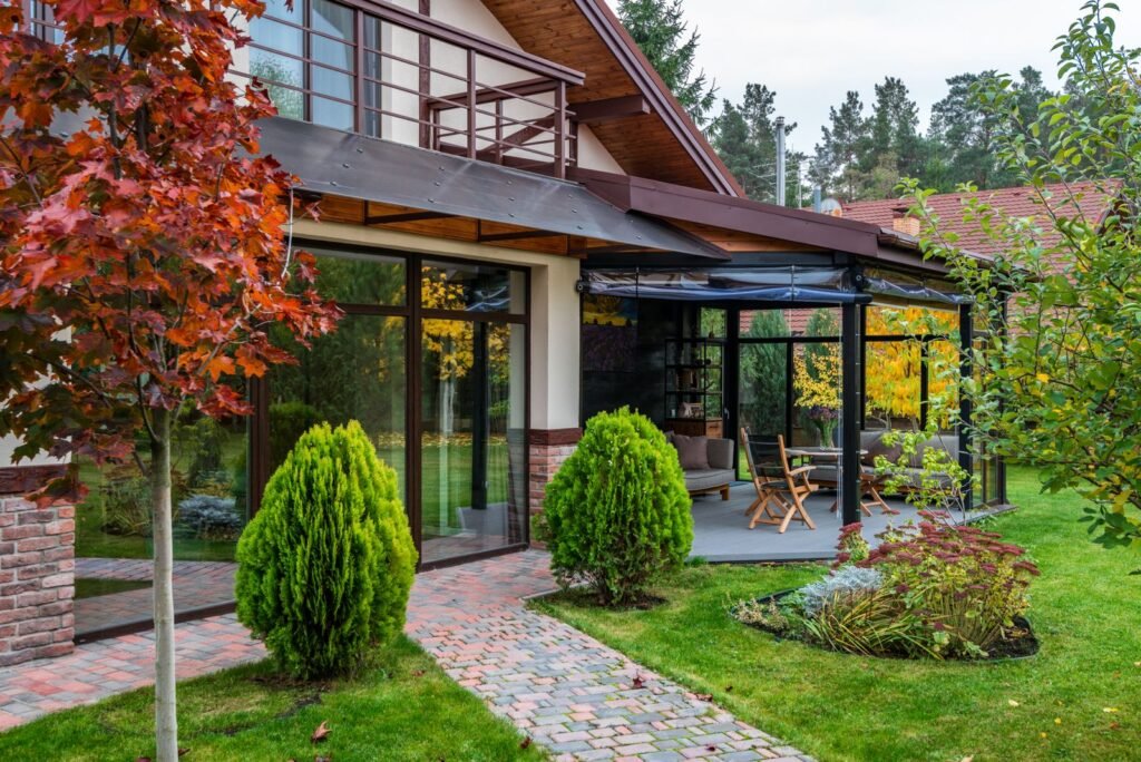
A single-story contemporary house with a glass terrace, the kind of low profile that suits a backyard unit on a view lot. Illustrative stock photo (Pexels) — not a project by our contractor.
Terramar
Developed in the 1950s
William Cannon
Private beach access
Terramar is a small oceanfront community William Cannon developed in the 1950s. The Terramar Association has its own rules and controls gated private beach access.
For an ADU: plan on the strictest coastal path in the city. Any lot seaward of the first public road, or inside 300 ft of the sand or a bluff, falls in the area where Coastal Commission appeals are possible, and the City's usual exemption for attached ADUs and JADUs does not apply within 50 ft of a bluff edge. Terramar is also west of the rail corridor, so garage parking lost to a conversion must be replaced. Expect the association to weigh in on design as well.
Kelly Ranch
433 acres
Coastal permit CDP 6-84-617
Streets named after authors
Kelly Ranch covers 433 acres on the east side of Agua Hedionda Lagoon under a master plan tied to Coastal Development Permit 6-84-617. Kelly Land Co. bought the land in 1997. The Coastal Commission's 2001 report lists 147 single-family homes and 451 apartments in the Core Area plus 144 single-family homes in Planning Area E. Homes are reported to have a median build year of 2000 and a median lot of about 8,276 sq ft.
For an ADU: the Coastal Commission's own records put Kelly Ranch in the Coastal Zone, split between the Agua Hedionda and Mello II segments, so a detached ADU or conversion needs a minor coastal permit. The 8,000 sq ft range leaves space for a detached unit once HOA design rules are met.
Poinsettia Shores
Master tentative map 1994
West Batiquitos Lagoon segment
Near Poinsettia Station
The Poinsettia Shores Master Plan area, including the Ponto area, falls in the West Batiquitos Lagoon/Sammis Properties coastal segment. Its master tentative map and hillside permit (CT 94-01 and HDP 94-03) date to 1994.
For an ADU: three rules overlap here. Detached units need a minor coastal permit. Much of it falls in the tracks-to-freeway band south of Avenida Encinas that the City treats as a parking replacement area, so check before converting a garage. And homes inside a half-mile walking distance of Poinsettia Station get the 18 ft height and no-parking rules for a detached unit.
Not on this list?
Chestnut Hills, Spyglass, Seapointe and Carlsbad Ranch are all served too. Put your address in the form and the contractor will check its coastal status, water district and fire zone before quoting. For a garage conversion in the City of San Diego instead, see San Diego Garage Conversion.
In pictures
From slab to roof on a backyard unit
A concrete slab being leveledRoof trusses on a wood frameA roofer laying shingles
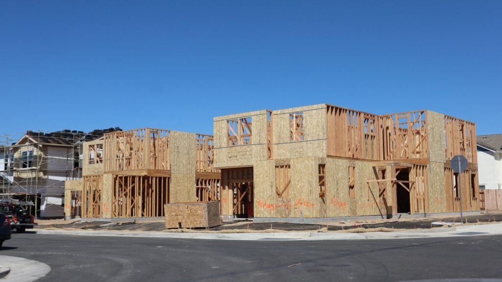
These are licensed stock photos (Pexels) chosen to show the kind of space or place described. They are not photographs of our contractor's completed projects.
Carlsbad neighborhood ADU questions
How do I know if my Carlsbad home is in the Coastal Zone?
The City's coastal development permit page has a Coastal Zone map and an address lookup, and the Coastal Commission publishes a statewide map. West of El Camino Real is a good first guess, but lots near the lagoons and on boundary streets need the actual lookup.
Which water district serves my lot, and why does it matter?
Most addresses are Carlsbad Municipal Water District. Parts of southern Carlsbad, including much of La Costa, are Olivenhain or Vallecitos. If you want a separate water meter for the ADU, that district sets the connection and capacity charges, so the quote changes with it.
Can my HOA in a master-planned neighborhood refuse an ADU?
Not outright on a single-family lot. Civil Code 4751 makes CC&R provisions void when they block an ADU or JADU or restrict one unreasonably. Architectural approval and sensible design limits are still allowed. Condo and townhome communities are a grayer area until AB 956, which is reported to take effect January 1, 2027. The Carlsbad HOA ADU guide covers it in detail.
Does my neighborhood change what an ADU costs?
Yes, mostly through the site. A flat Barrio lot with nearby utilities is the baseline. A La Costa or Aviara hillside can add 10% to 22% to construction, a long utility trench adds $9,000 to $20,000, and a coastal permit adds design and review time. The Carlsbad ADU cost calculator lets you add those items one at a time.
Is my area in a fire hazard zone?
The City has not published a neighborhood list. Instead, the wildfire risk page lets you type in an address and flip between the old 2007 map and the 2025 one. Hillside and open-space edges in the east are the usual places to look, and the City placed a wildfire camera at La Costa Ridge in September 2025.
Last checked November 7, 2026. Coastal status, fire zone and water district are set parcel by parcel, so ask the City before you rely on this table.
Next step
Get your free Carlsbad ADU Fit Check
Three short steps, about a minute. A licensed San Diego County general contractor reviews what you send, checks your lot against Carlsbad's ADU, coastal and fire-zone rules, and replies with a realistic range and the questions that would change it.
Which ADU types your lot allows, and the size and height limits that apply
Whether coastal review, a fire zone or your HOA changes the plan
A line-by-line range, including fees and utility runs, before you pay for drawings